Wakefield, MA painting and home remodeling.
Wakefield wraps around Lake Quannapowitt, where the Saugus River starts. Lakeside lots, river floodplain and old Town Center houses each need a different plan.
Estimate request: Wakefield
Free · no obligation · we call back within 1 business day
A town built around a lake.
The town's open space plan calls 247-acre Lake Quannapowitt the heart of Wakefield. It's the headwaters of the Saugus River, it's a Great Pond open to the public, and motorboats on it are capped at 10 horsepower. Crystal Lake, 78 acres, is the town's drinking water source.
About 90% of Wakefield drains to the Saugus River, the plan says, and backups downstream can push water back into town. Floodplain runs along the Saugus and Mill Rivers, around the lake and at Reedy Meadow. That shapes basement and deck work more than anything else here.
It's also a dense place for a suburb: around 3,665 people per square mile, more than most of its neighbors. Smaller lots mean tighter staging, so we plan where the dumpster and lumber go before day one.
Wakefield neighborhoods we keep in mind.
Town Center
Around the lake, with the Church-Lafayette Streets and Common National Register districts. The town's historical center, and older houses with plenty of trim.
West Side
One of the denser parts of town in the open space plan. Close-set houses, so we keep the work area tight.
East Side / Woodville
Also listed as a denser area. Farther east, the Saugus River leaves Reedy Meadow and forms the town line.
Greenwood
Dense, with its own commuter rail stop and Greenwood Hill, the town's high point at about 250 feet.
Yale Avenue
A National Register district recognized for its planning and architecture, with 13 contributing resources.
Wakefield rules worth knowing first.
Local rules from the town code and Town Hall. One of them is still only a proposal, and we say so.
Six-month demolition delay
Wakefield's Chapter 126 lets the Historical Commission hold a demolition permit for a 'significant' building, one on the National Register or on the commission's inventory, for six months after the application if it finds the building should be preserved. Asking for a waiver hearing carries a fee. [1][2]
Call-in windows for inspections
The Building Inspector's office at 1 Lafayette Street takes building inspection requests by phone in set windows: 8 to 9 a.m. or 1 to 2 p.m. Monday through Thursday, and 8 to 9 a.m. Friday. Wiring and plumbing inspections have their own windows. [1]
Floodplain overlay district
Wakefield zoning has a Floodplain (FP) overlay covering FEMA's special flood hazard area, which FEMA last mapped here in 2010. Work in the regulatory floodway that would raise 100-year flood levels at all is prohibited. [1]
Proposed local wetlands bylaw
Today Wakefield's Conservation Commission works under the state Wetlands Protection Act alone. A proposed local bylaw, headed to Town Meeting, would add isolated wetlands over 1,000 square feet, vernal pool habitat, and a 25-foot no-disturb zone from protected wetlands. [1][2]
One statewide building code. Massachusetts uses a single building code for every town: 780 CMR, now in its tenth edition. Your local building department enforces it and issues the permits. source
Dig Safe before digging. State law requires notice to Dig Safe at least 72 hours before digging, not counting weekends and legal holidays. That includes holes for deck footings. Call 811. source
Pick your project.
Each service has its own Wakefield notes: the lake, the rivers, the Historical Commission and the Building Inspector's hours.
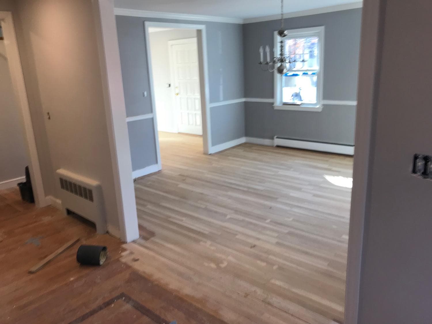 Most requested in WakefieldHouse PaintingInterior and exterior painting in Wakefield, MA, including the older houses of the Church-Lafayette Streets historic district by the lake.
Sand, gravel and outcrops.
Wakefield's soils split two ways, per the open space plan. Sand and gravel soils, Merrimac and Hinckley, drain fast and sometimes hold boulders. Upland Gloucester soils are often shallow with bedrock outcrops, especially in the hilly east and south and in the Golden Hills.
For us that means a footing in one yard digs easy and the next one across town hits rock. We look before we quote. Near the rivers, the bigger worry is water table and floodplain, not stone.
Wetlands bylaw: watch this space.
The Conservation Commission has proposed Wakefield's first local wetlands bylaw for a fall 2026 Town Meeting vote. If it passes, it would add a 25-foot no-disturb zone. We'll follow whatever is in force on the day we file.
Wakefield homeowner questions.
Maybe. The commission's 'Cultural Resources of Wakefield' booklet, at the Beebe Memorial Library, covers National Register properties plus over 250 others. It only matters for demolition, not paint or remodeling.
Not yet. One is proposed for a Town Meeting vote in fall 2026. Until then, the state Wetlands Protection Act is what the Conservation Commission enforces.
Often, but expect the Conservation Commission to be involved. The lake and its edges sit in the town's mapped floodplain, and state wetland rules cover land near the shore.
You request it by phone during set windows, mostly early morning and early afternoon Monday through Thursday. We handle the call for jobs we run.
Where this information comes from.
Local rules change. We link the official pages so you can check the current version, and we confirm what your job needs when we come look.
- 1.Inspectional Services & Zoning, Town of Wakefield
- 2.Chapter 126: Historic Structures (Demolition), Town of Wakefield Code (eCode360)
- 3.Historical Commission, Town of Wakefield
- 4.2024-2031 Open Space and Recreation Plan, Town of Wakefield (Labeled 'Draft' on the town site. Floodplain overlay rule is the plan's summary of the zoning bylaw.)
- 5.Proposed Wetland Bylaw, Wakefield Conservation Commission (Proposed bylaw, not adopted as of 2026-10-04.)
- 6.Proposed Local Wetlands Bylaw: Overview Sheet, Wakefield Conservation Commission (Proposed bylaw, not adopted as of 2026-10-04.)
- MATenth edition of the MA State Building Code (780 CMR), Mass.gov
- MAM.G.L. c. 82, § 40A (excavation notice)
Need work done in Wakefield?
Send a request or give us a ring. We'll come out to Wakefield, look at the job and give you a written price. Free.